Drone Surveys
Drone usage
Drones have become a vital tool for real-time information gathering of afforestation and mature forestry sites.
At SWS Forestry we use drones as follows:
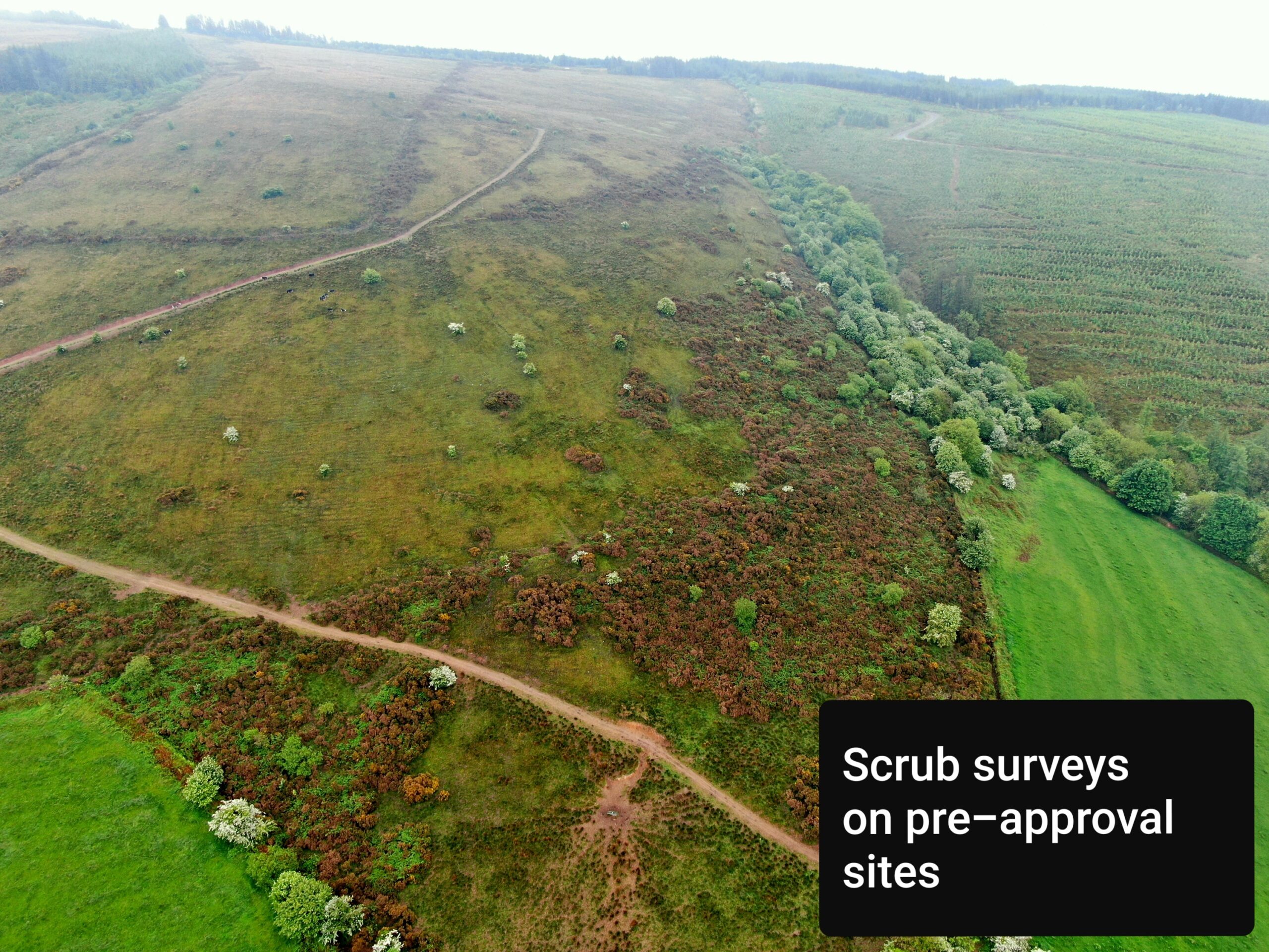
- Scrub surveys on pre-approval sites
- Surveying land for sale
- Aiding with forestry valuations (productive area identification)
- Forest stratification for inventory purposes (identifying different species or weaker sections of the forest)
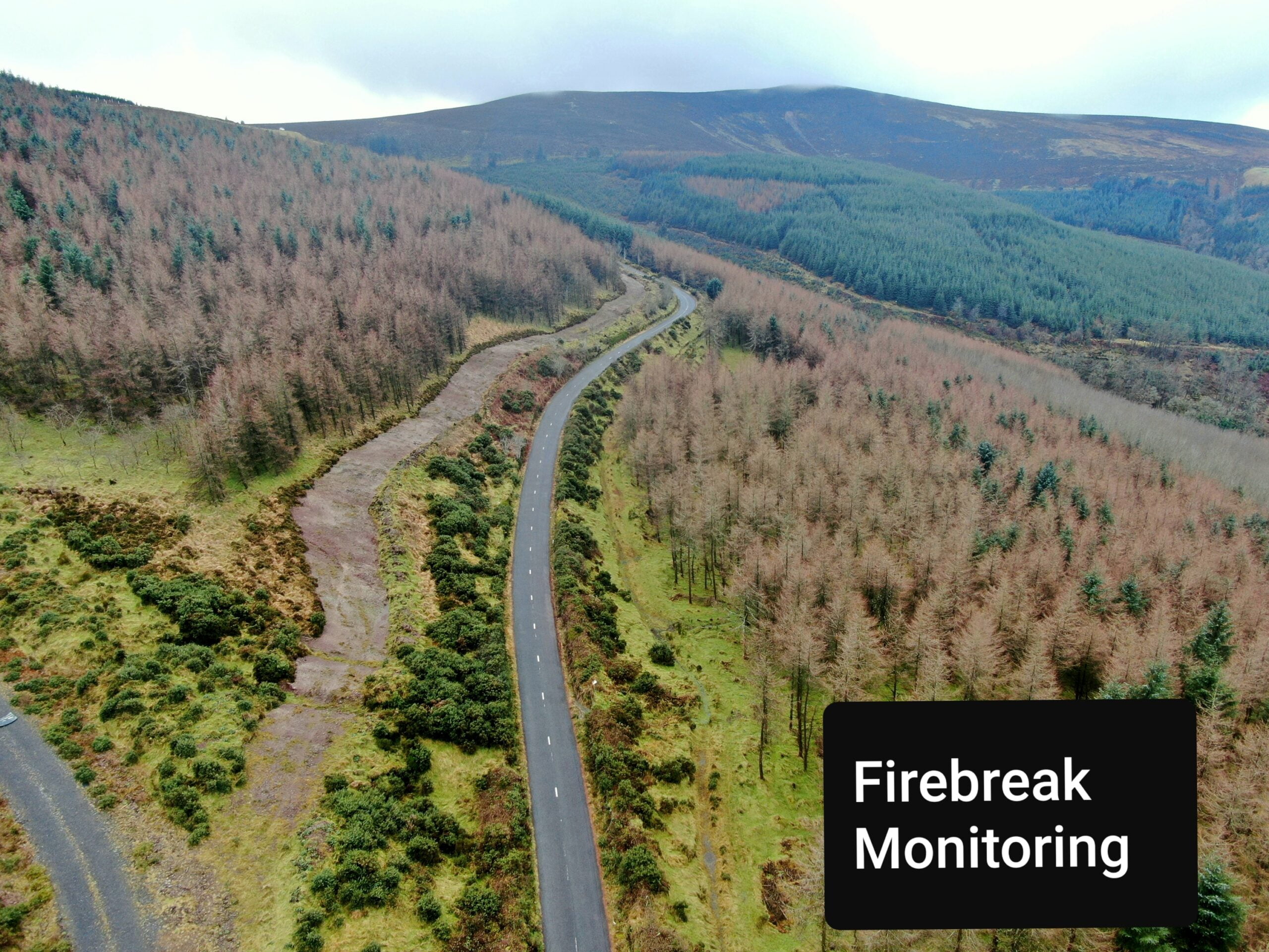
- Surveying fire breaks (used to identify if a fire break is adequate or needs to be cleared again)
- Plantation surveys on windfarms
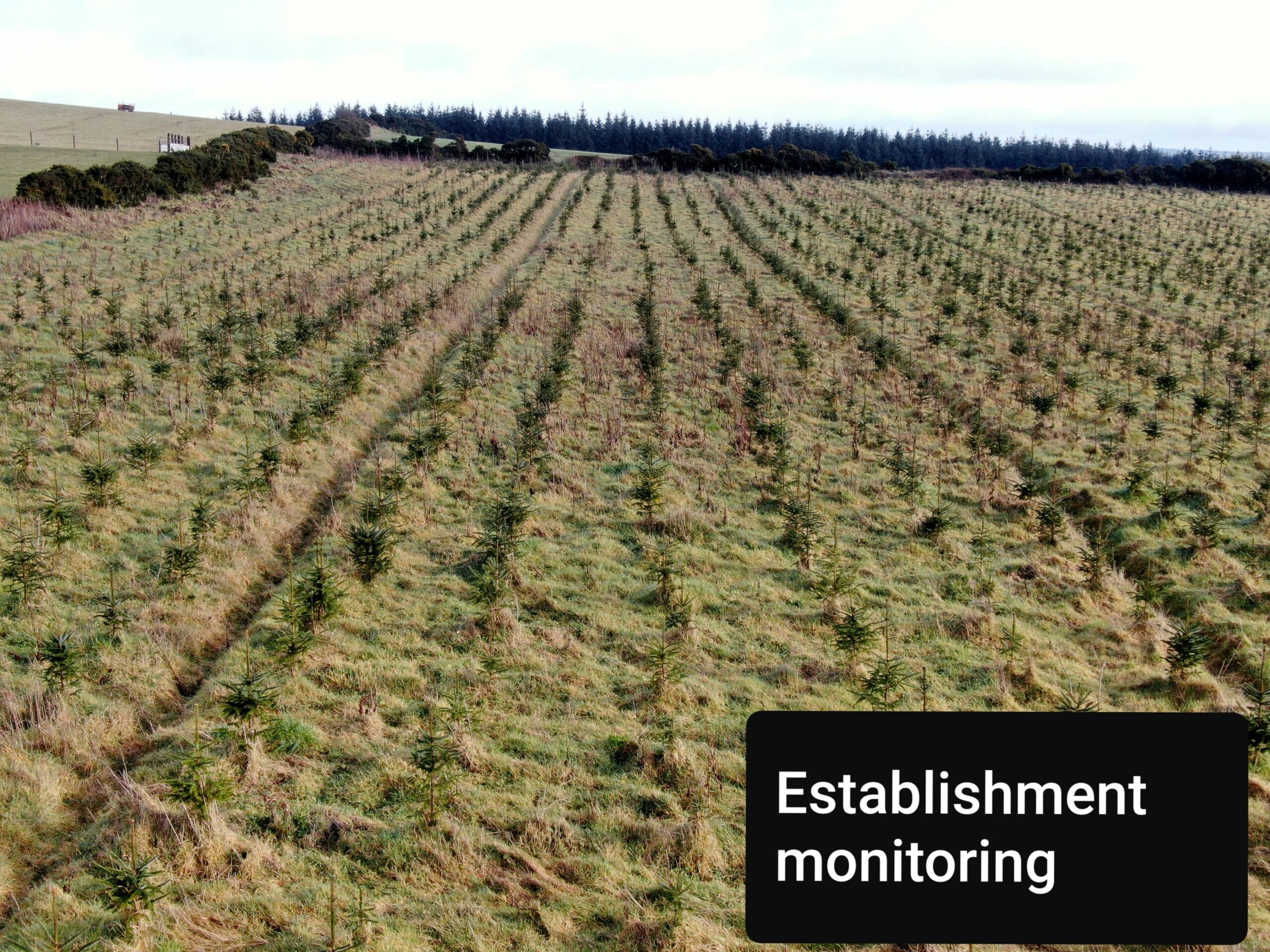
- Establishment monitoring (stocking density & tree health)
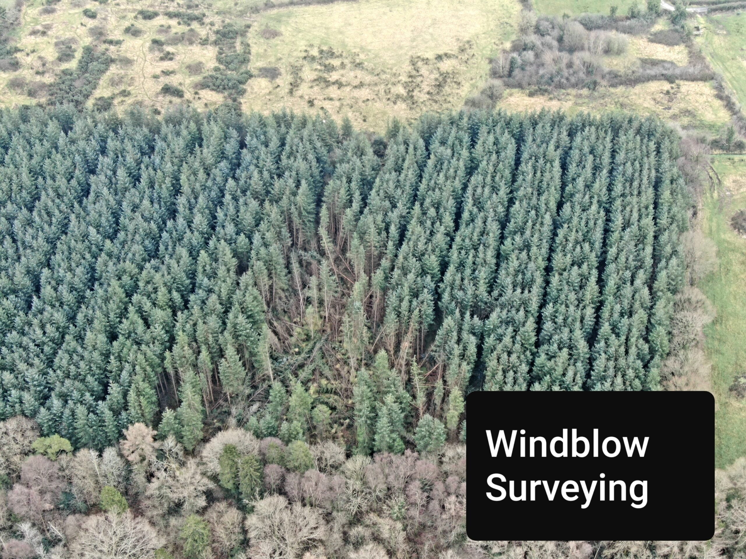
- Windblow surveys
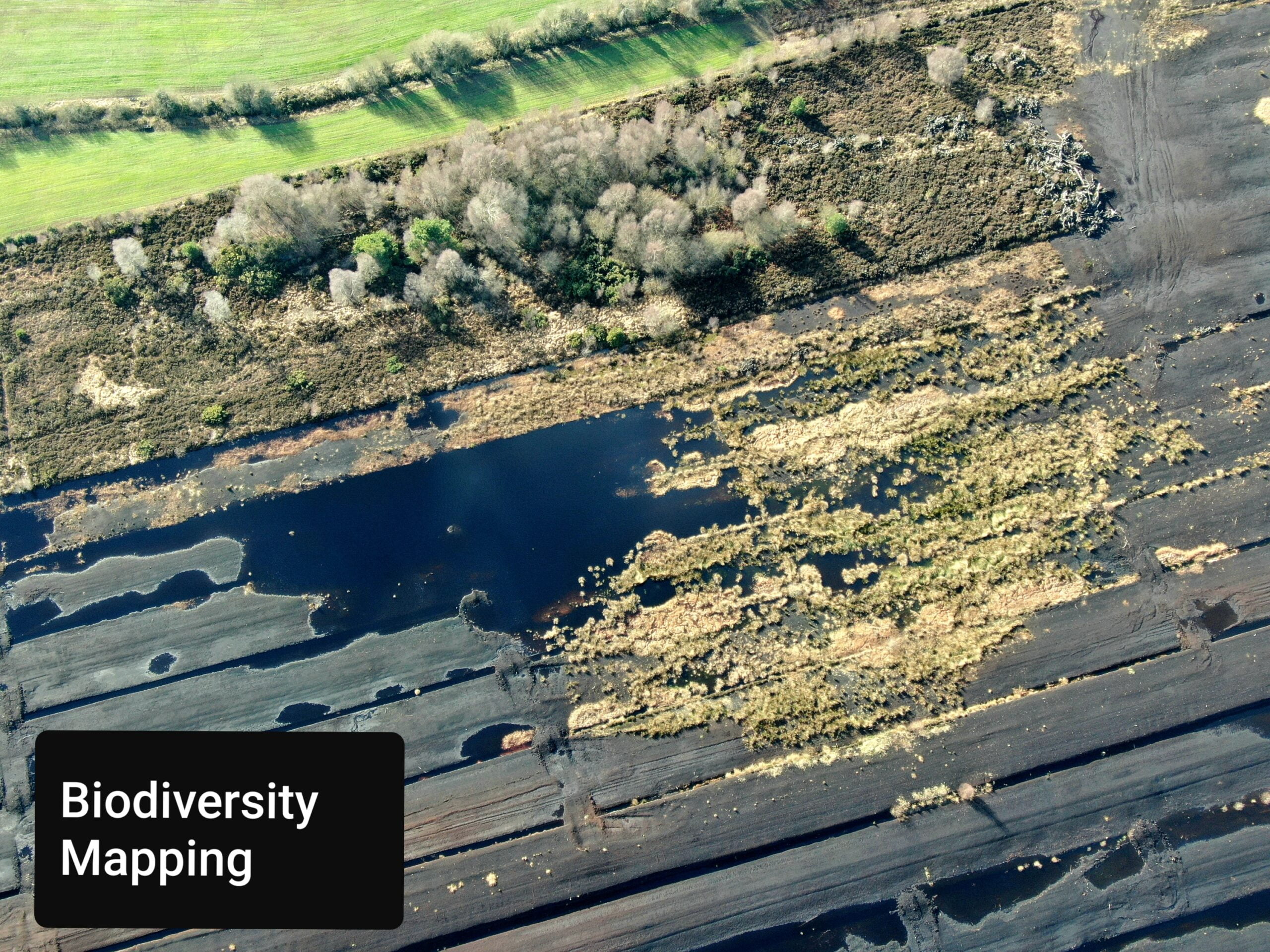
- Biodiversity mapping
- Identifying species mixes in semi-mature/mature plantations
- High resolution aerial imagery for felling licence applications and harvest plans
- Identifying possible routes for building forest roads

Regulations & Privacy
Drone users are required to be registered with the Irish Aviation Authority (IAA) and have the appropriate training for their drone type and drone usage application.
As of December 31st 2020, the EU drone Regulation requires all drone operators using any drone over 250 grams, or those with a camera or sensor to be registered. By registering with the IAA at this time you will automatically meet the new EU requirements. You can register with the IAA on the MySRS portal.
All users operating drones on behalf of SWS Forestry are registered with the IAA and have completed the online training course which includes drone flying regulations.
A few key regulation and privacy points are listed below:
- Registered drones may not be flown above 120 meters.
- Drone pilots must maintain a direct line of sight with their drone during operations.
- Drones may not fly within 5 kilometres of any airport.
- Drones may not fly within 30 meters of people, crowd’s or buildings.
Click here for some examples of our drone footage and imagery: